 |
||||
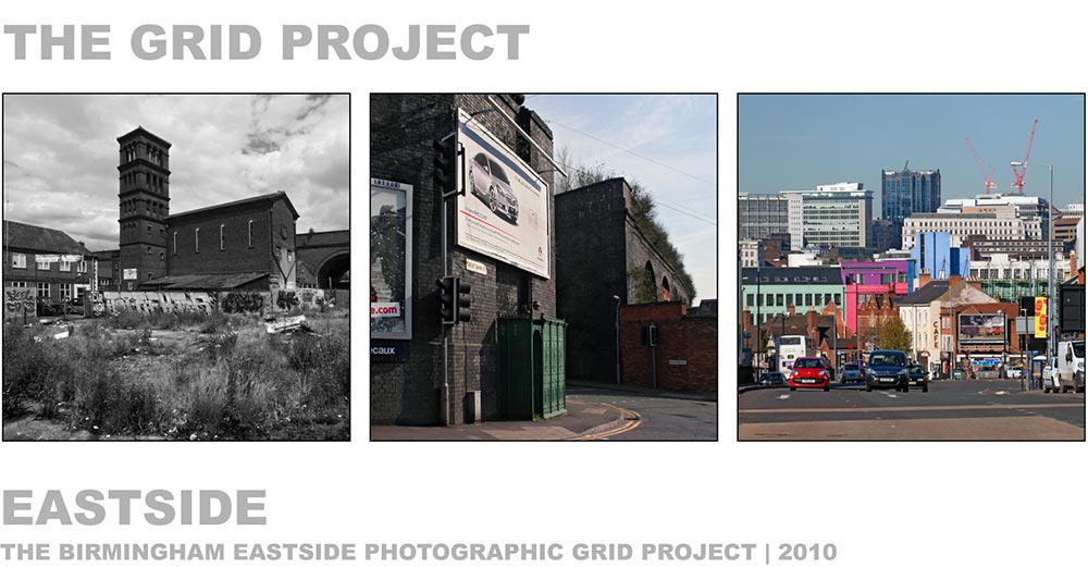
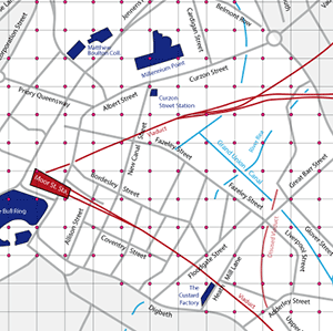
| Grid Project Home | Birmingham's Eastside is a redevelopment area near the centre of the city. It contains some of the city's oldest and newest buildings and major transport links, especially rail and canal networks.
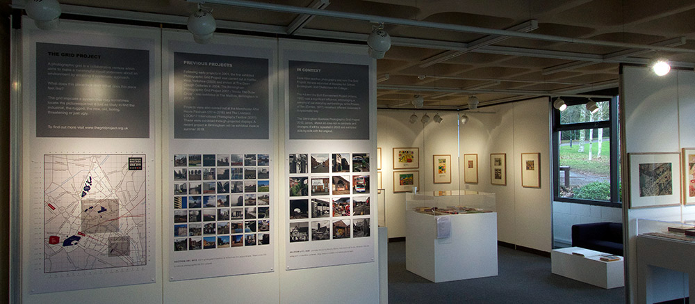
The Birmingham Eastside Photographic Grid is a survey of the area carried out in 2010. Each grid point is located 100 metres to its adjacent points. A total of 376 photographs were taken by 36 photograhers. To see the photos follow the links on the left. A hardback book of the project can be seen here. This project has never been exhibited in full. A selection from it was exhibited in the NAEA Archive in The Yorkshire Sculpture Park in 2018 (below). |
 |
||
| Photos on map - mono | ||||
| Photos: list format | ||||
| More about Eastside | ||||
| Eastside: Wikipedia | ||||
| Other Projects... | ||||
| Yorkshire Sculpture Park 2018 | ||||
| In The Footsteps Of Phyllis 2017 | ||||
| Liverpool LOOK/17 Festival | ||||
| Halifax Grid 2015 | ||||
| Northern Quarter Grid 2014 | ||||
| Birmingham Grid 2007 | ||||
 |
||||
|
|
||||
|
© Dave Allen 2019
|
||||